Deploy high-fidelity spatial data layers directly into your existing web applications without the cost of heavy server infrastructure.
Explore API Docs
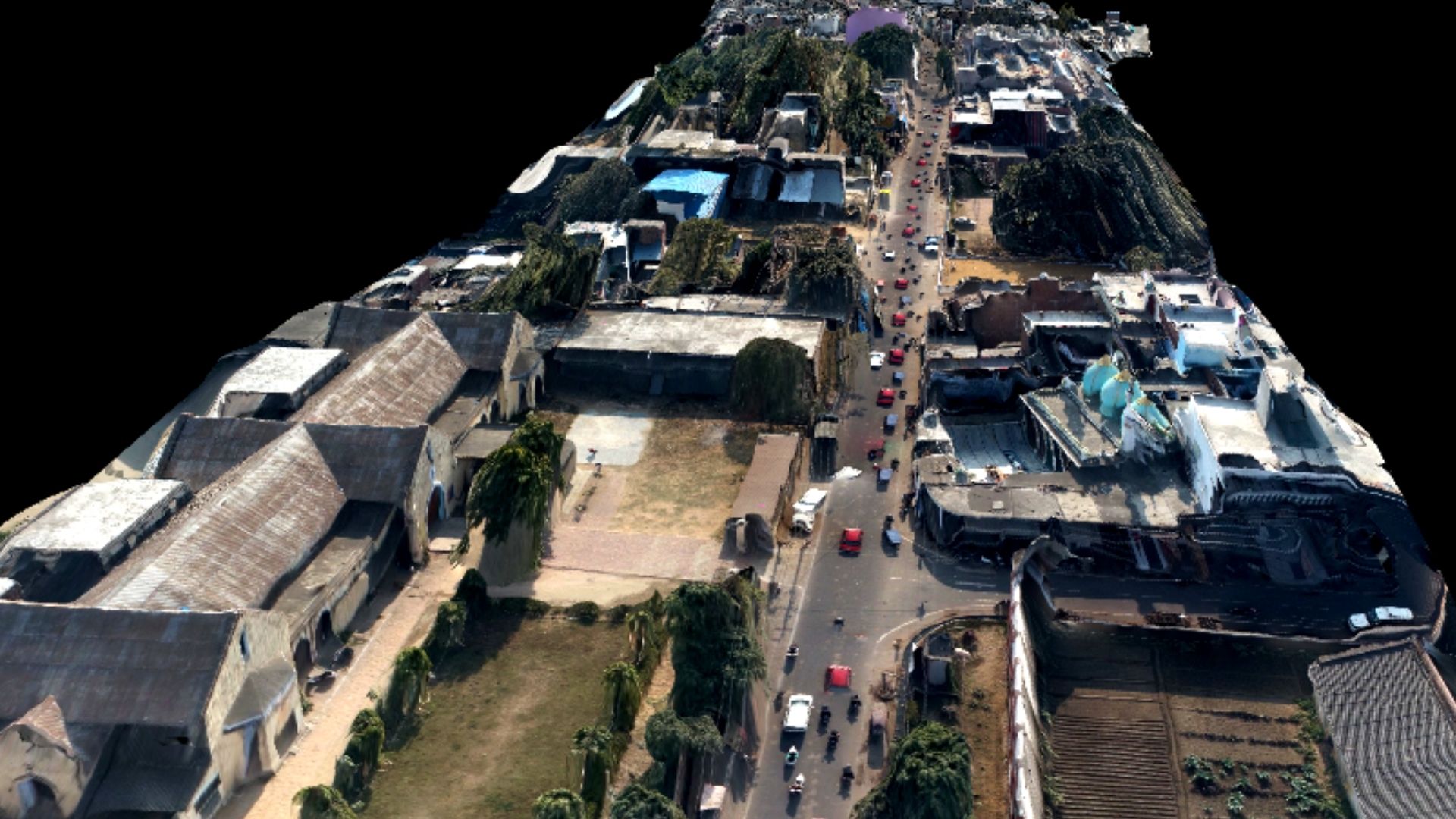
Most organizations struggle with the high cost of hosting heavy GIS files like LiDAR (.LAS) or high-res orthomosaics. Agniforge Survey handles the heavy lifting.
Our API system acts as a middleware that streams only the data your user is currently viewing, reducing bandwidth and eliminating the need for expensive on-premise server clusters.
Powered multiple Municipal Corporations by delivering real-time revenue indexing maps to over 1,000+ internal staff simultaneously without a single server crash.
Municipal Corporations Powered
Geo-tagged Properties Indexed
API Uptime Performance
Stream massive 3D point cloud datasets directly into WebGL or Three.js environments without browser lag.
Custom REST endpoints for property tax collection, household enumeration, and FAR violation data.
Seamlessly integrate our layers into Esri, Mapbox, or Leaflet based systems via standard WMS/WFS/XYZ protocols.
Trigger complex spatial analysis—like area calculations or terrain slope—on our cloud and receive results via JSON.
Unified data feeds for smart city dashboards, including real-time asset status and maintenance logs.
Unique UID generation and tracking for poles, streetlights, and utility hubs with geo-fencing safety.