Agniforge provides high-fidelity, remote planimetric and vectorization services. From sub-pixel feature extraction to nationwide cadastral mapping, we bridge the gap between raw imagery and GIS-ready intelligence.
Drawing and classifying high-density features from Satellite, Drone, and LiDAR datasets with sub-centimeter precision.
Developing 2D and 3D planimetric maps for smart cities, urban planning, and municipal infrastructure management.
Precision digitizing of land records and parcel boundaries to support global land tenure and legal registration systems.
Multispectral & Optical vectorization for large-scale environmental tracking.
Ultra-high resolution planimetric extraction (1cm - 5cm GSD).
Feature drawing using laser intensity maps for shadow-free accuracy.
SHP, DXF, DWG, KML, GeoJSON, and File Geodatabase (GDB) delivery.
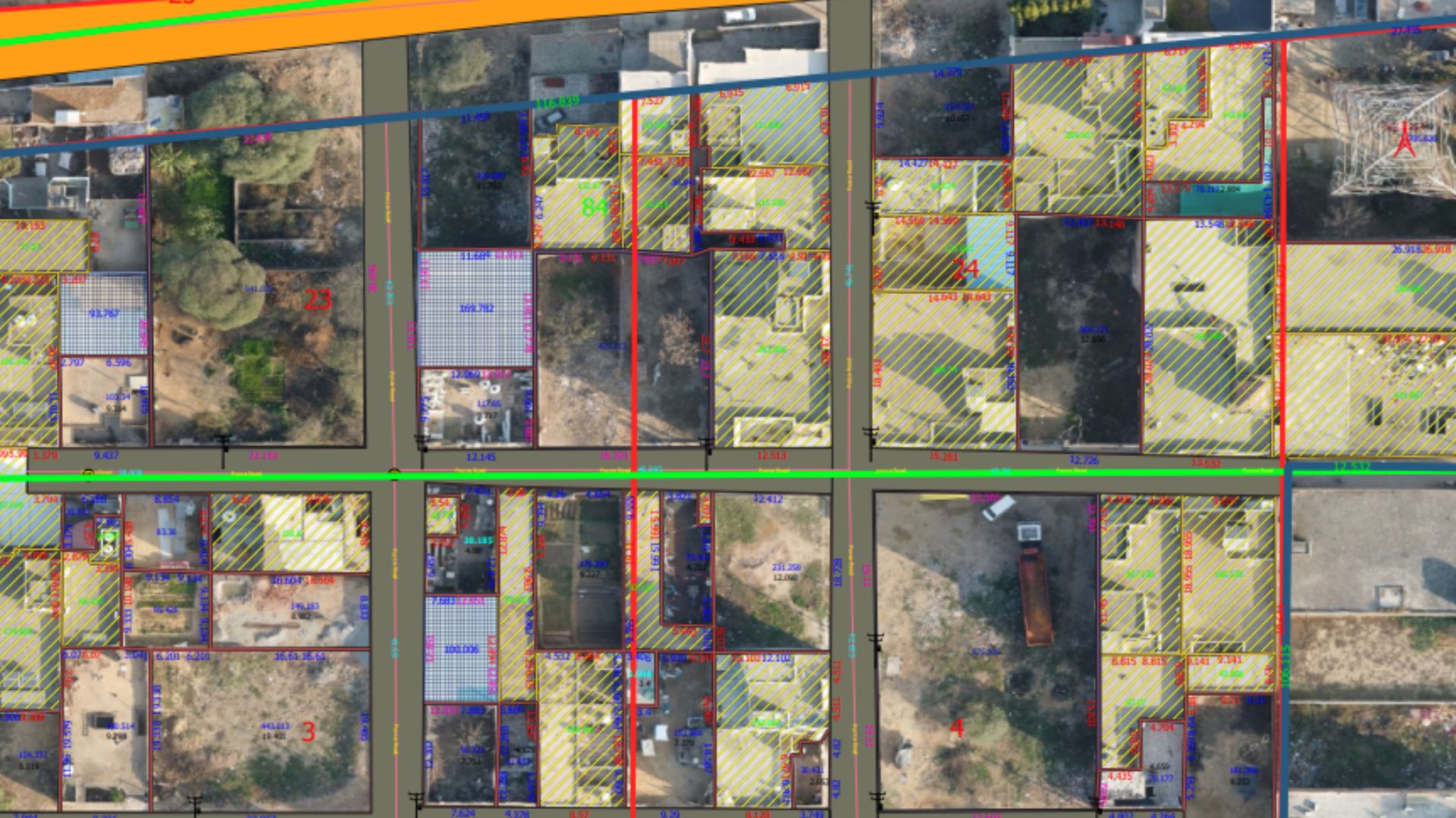
Our remote mapping unit is engineered to support international engineering firms and government agencies. We follow OGC (Open Geospatial Consortium) standards to ensure your data is compatible with any global GIS ecosystem.
Whether it's digitizing thousands of kilometers of utility lines or mapping complex urban tax parcels, we deliver accuracy that meets the most stringent international benchmarks.