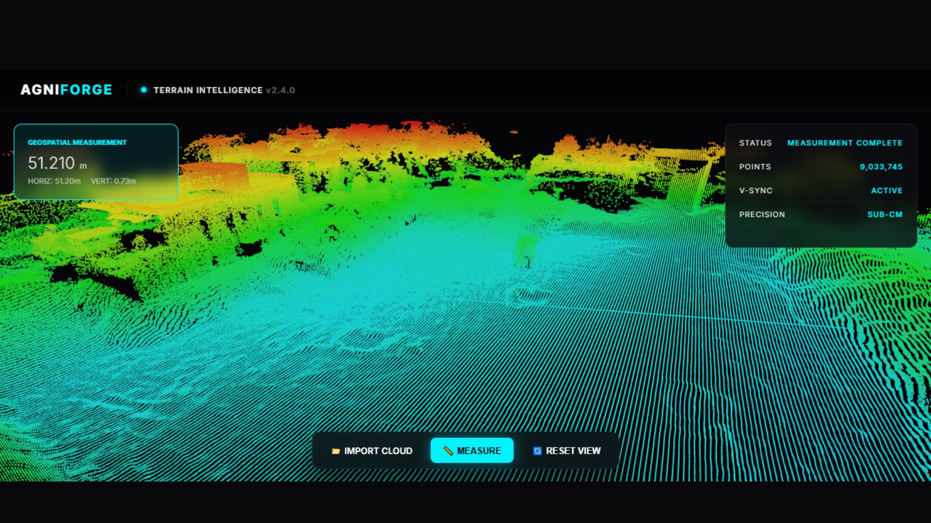
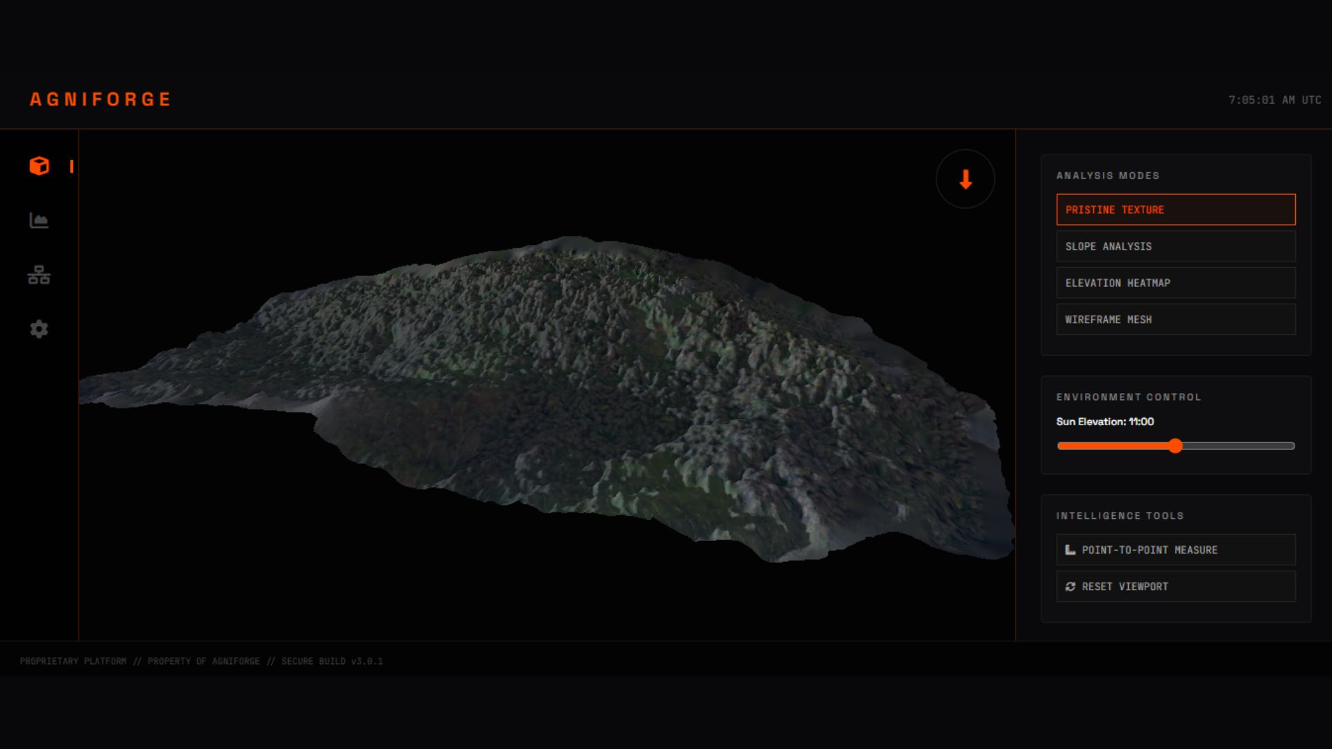
Industrial grade photogrammetry reconstruction for mining, construction and urban assets.
Advanced point cloud processing and automated feature extraction for complex topography.
Global multispectral imagery processing for temporal change detection and remote monitoring.
High-precision radiometric analysis for solar farms and electrical infrastructure integrity.
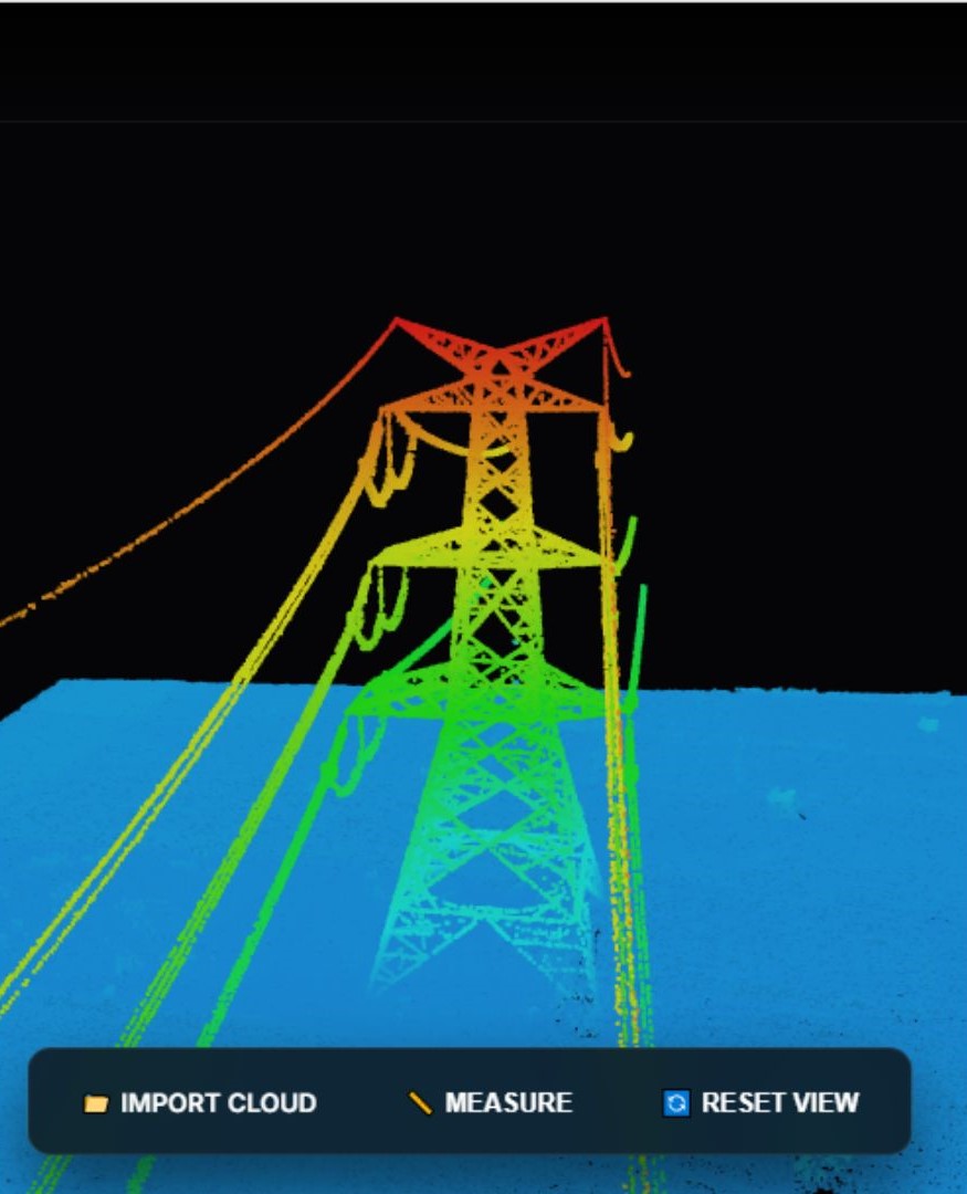
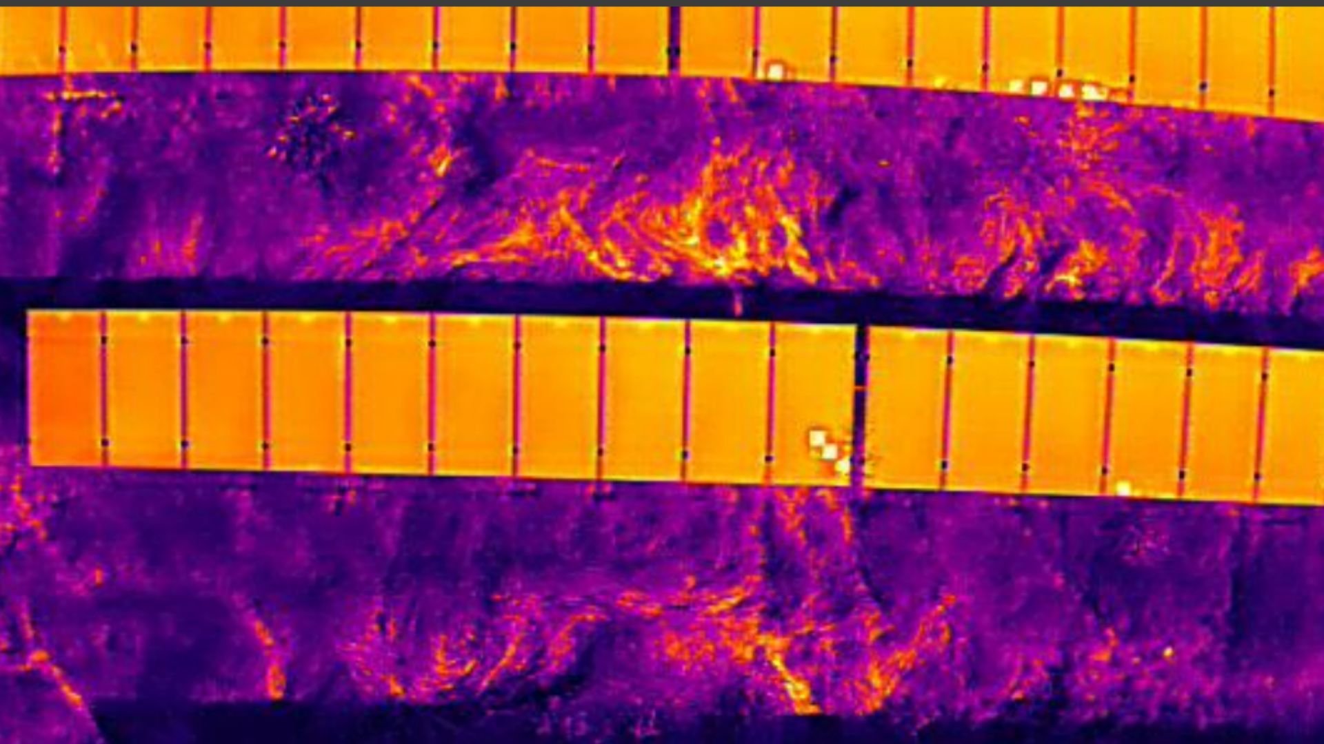
We eliminate the friction of data handling. Every processing milestone is delivered through our browser-based ecosystem.
Collaborate with your team, perform volumetric measurements, and export CAD-ready files without installing a single piece of software.
Area: 1200 Ha | GSD: 2.5cm/px
Classified Vegetation & Clearance
String-Level Anomaly Detection
LOD4 High-Fidelity Reconstruction