In the world of geospatial intelligence, accuracy is everything. But accuracy alone is not enough — the real benchmark lies in whether your data can meet the standards of global systems.
Recently, we conducted a small but important experiment.
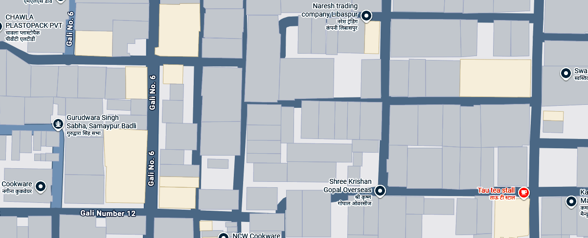
We submitted a building dataset from a local region in Delhi to the ecosystem of Google Maps — not as a large-scale deployment, but as a validation exercise. The objective was simple: to understand whether our data pipelines, collection methodologies, and structuring standards align with international expectations.
Why This Test Mattered
Geospatial data is often judged visually — how clean a map looks, how detailed the features are. However, large-scale platforms evaluate data very differently.
They look for:
- Structural consistency
- Positional accuracy
- Metadata integrity
- Compatibility with ingestion pipelines
This test was not about visibility. It was about validation.
The Outcome
After submission, our dataset entered the evaluation pipeline.
We recently received confirmation that it has now moved into an “In Use” state and is being processed for integration.
While this may seem like a small update, it represents something far more significant for us:
Our data meets the requirements of a global mapping system.
.png)
What This Actually Means
This milestone is not about association — it is about capability.
It confirms that:
- Our workflows can produce globally acceptable datasets
- Our accuracy standards hold up under external validation
- Our data structuring is compatible with large-scale systems
In other words, the foundation we are building is technically sound.
Beyond Maps: Our Direction
At Agniforge, we are not focused on building another map interface.
We are working towards building systems where:
- Geospatial data is structured, queryable, and export-ready
- Field data collection integrates seamlessly with digital pipelines
- Accuracy is measurable, not assumed
- And data can be used directly for decision-making, not just visualization
A Small Dataset, A Larger Vision
This dataset represents a very small geographic area.
But the implications extend far beyond its size.
It validates a direction — one where high-quality geospatial data can be built, standardized, and scaled from the ground up.
We see this not as an achievement, but as a checkpoint.
The real work lies ahead.
— Team Agniforge