Agriculture Mapping & Survey by Agniforge in Your City
Our advanced drone-based surveys deliver precise agriculture mapping, optimizing crop management and yield with cutting-edge UAV technology.
Explore More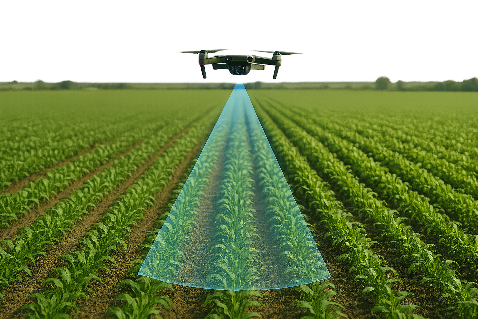
Our advanced drone-based surveys deliver precise agriculture mapping, optimizing crop management and yield with cutting-edge UAV technology.
Explore More

Our advanced drone-based surveys provide precise forest mapping, supporting conservation and management with state-of-the-art UAV technology.
Explore MorePartner with Agniforge Survey to unlock the potential of your land with precision, innovation, and purpose. Let’s build a sustainable tomorrow together.
Get in Touch

© 2025 Agniforge. All rights reserved.