DGPS Survey Solutions
Achieve unparalleled geospatial accuracy with our DGPS survey services, ideal for precise land mapping, construction planning, infrastructure development, and boundary demarcation.
Achieve unparalleled geospatial accuracy with our DGPS survey services, ideal for precise land mapping, construction planning, infrastructure development, and boundary demarcation.
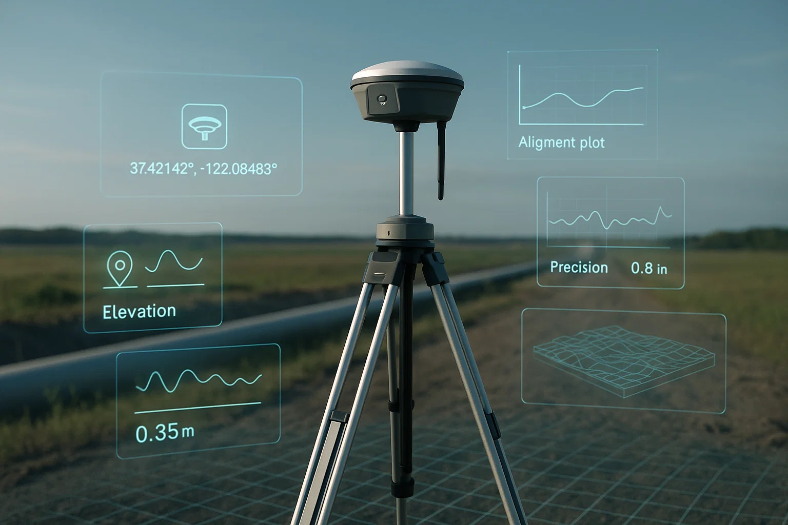
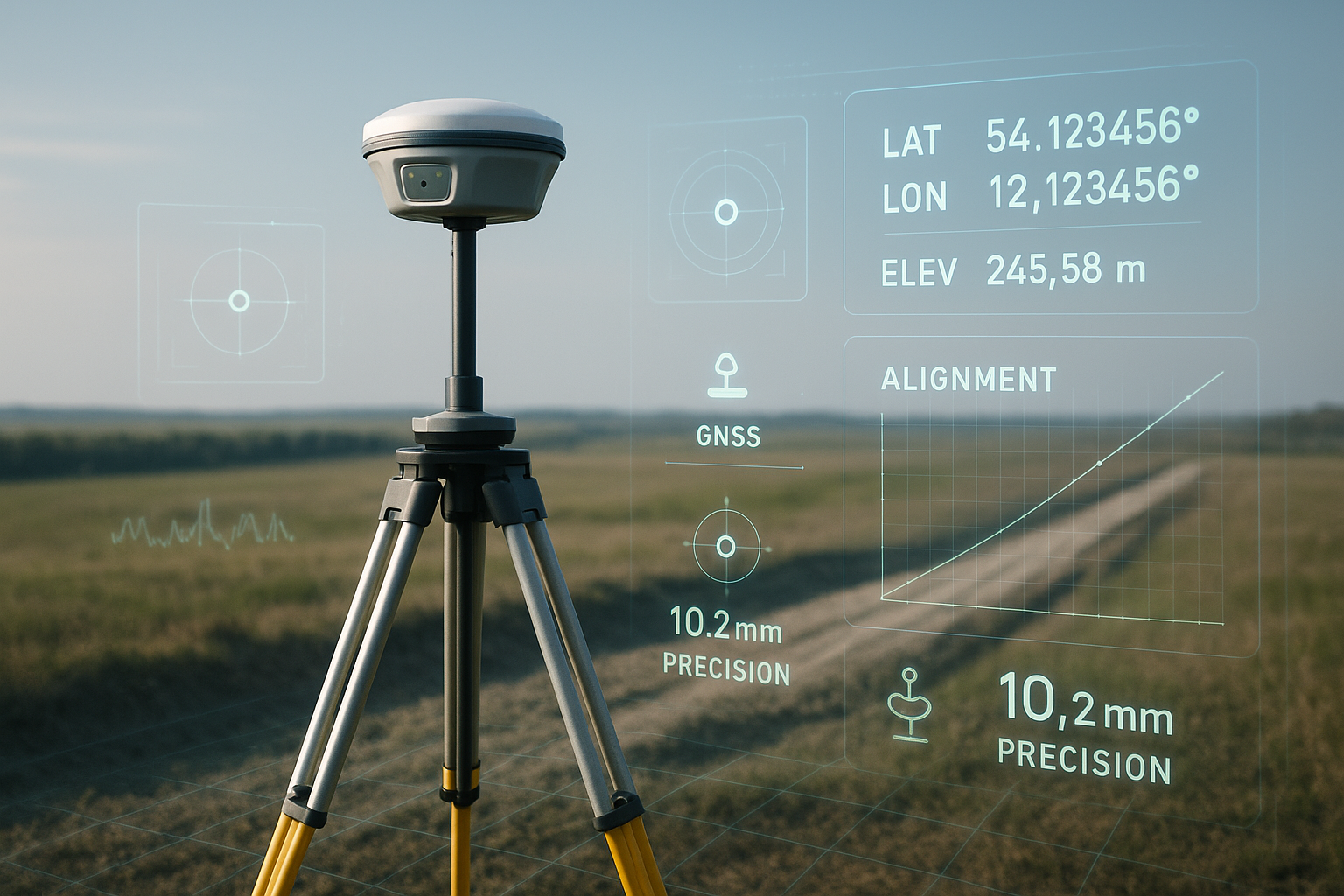
At Agniforge, we specialize in high-precision DGPS survey solutions, delivering accurate geospatial data for a wide range of industries. Our advanced Differential Global Positioning System technology ensures centimeter-level accuracy, transforming how location-based data is captured and utilized.
Our team of expert surveyors combines cutting-edge DGPS equipment with rigorous data processing to produce reliable, georeferenced datasets. From construction and land development to agriculture and environmental monitoring, Agniforge’s DGPS surveys empower clients with precise insights for informed decision-making.
With a commitment to excellence and innovation, Agniforge delivers survey-grade results that meet the highest industry standards. Partner with us to unlock the potential of DGPS technology for your next project.
Our DGPS survey services provide a suite of high-quality deliverables, tailored to support precise mapping and planning across diverse applications.
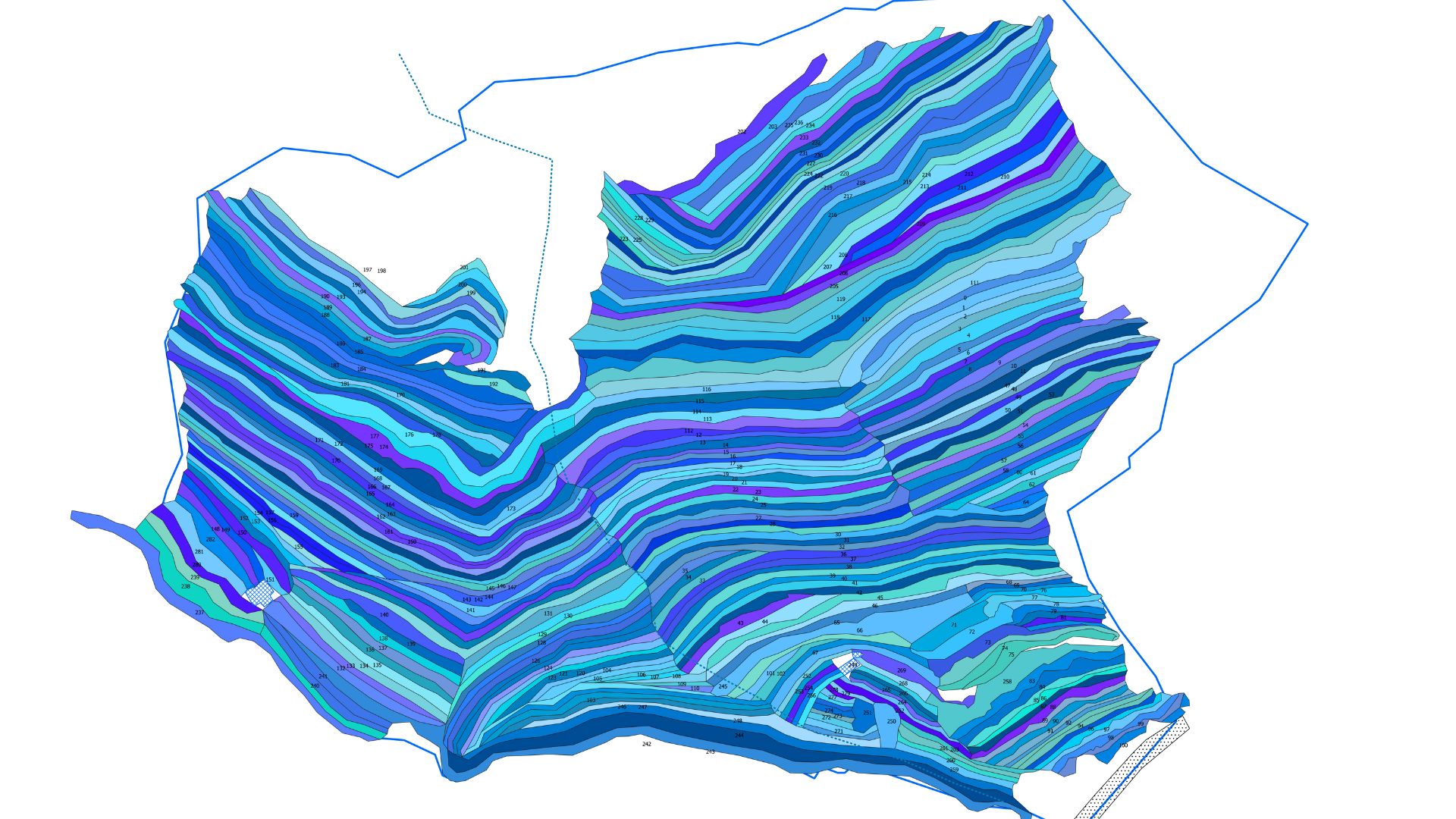
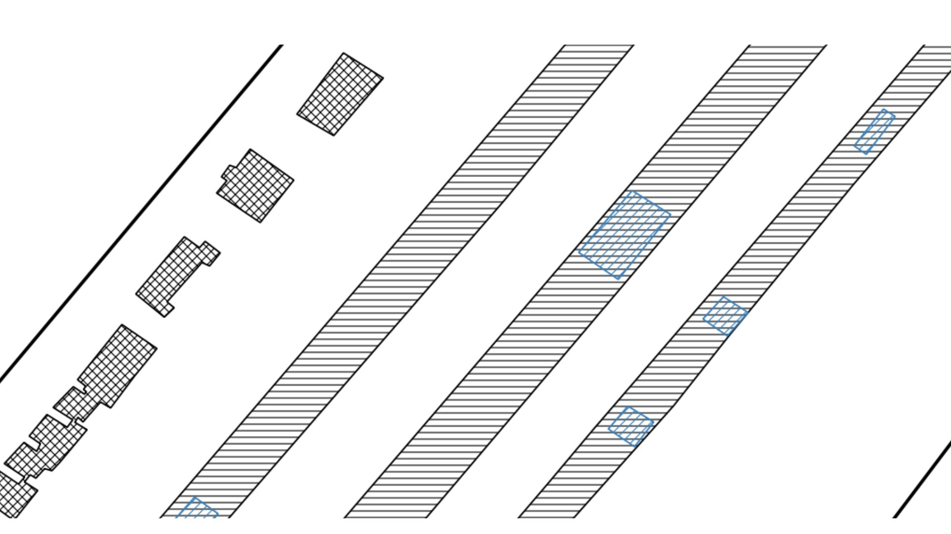
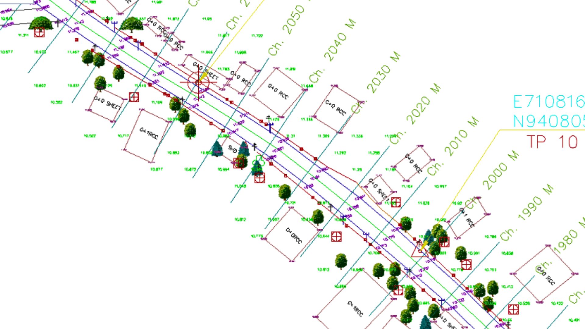
Detailed maps capturing terrain features and elevation with centimeter-level accuracy, ideal for construction and urban planning.
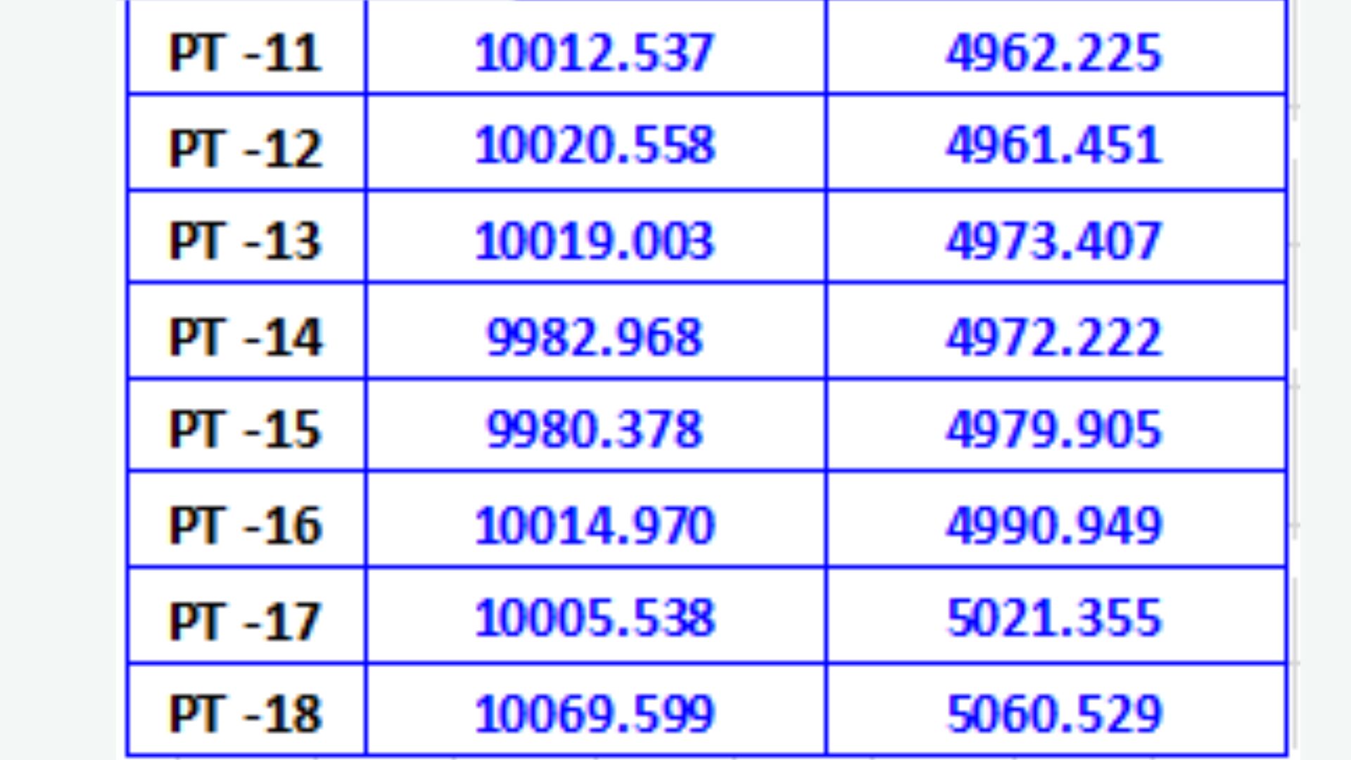
High-precision coordinate data in formats like CSV or GIS, enabling seamless integration with mapping and planning software.
Accurate delineation of property boundaries with detailed reports, supporting land development and legal documentation.
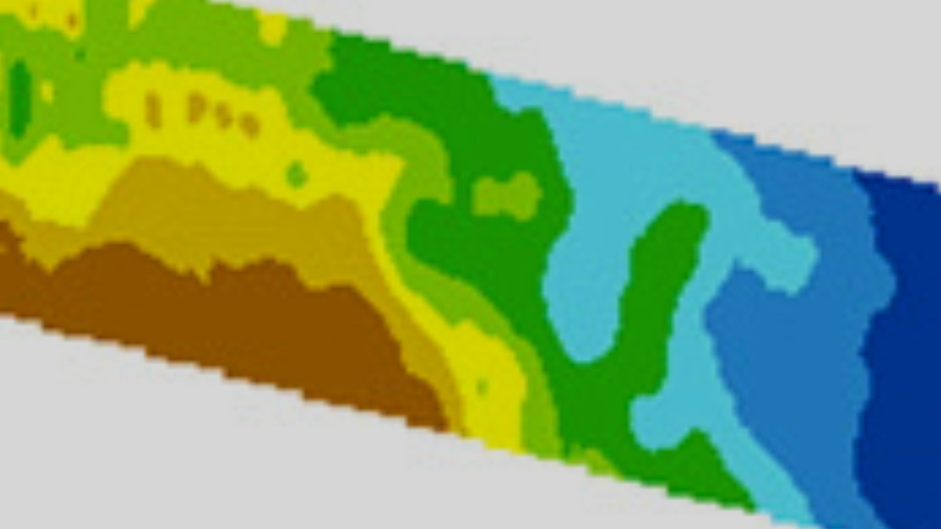
3D representations of terrain elevation, perfect for flood analysis, infrastructure design, and environmental studies.

Established ground control points with precise coordinates, ensuring accuracy for large-scale survey projects.
Precise alignment data for infrastructure like roads and pipelines, supporting efficient project execution.
Our DGPS survey services deliver unparalleled accuracy and reliability, addressing critical needs across multiple industries.
Precise demarcation of property lines for real estate, land development, and legal purposes, ensuring compliance and clarity.
Detailed mapping of terrain features and elevations, supporting construction, urban planning, and environmental projects.
Accurate alignment and positioning data for roads, bridges, and pipelines, optimizing design and construction workflows.
High-precision surveys for farm planning, irrigation design, and crop monitoring, enhancing agricultural productivity.
Georeferenced data collection for ecological studies, supporting conservation and land management initiatives.
Regular DGPS surveys to track progress, ensure alignment, and verify as-built conditions for construction projects.
Partner with Agniforge Survey to unlock the potential of your land with precision, innovation, and purpose. Let’s build a sustainable tomorrow together.
Get in Touch

© 2025 Agniforge. All rights reserved.