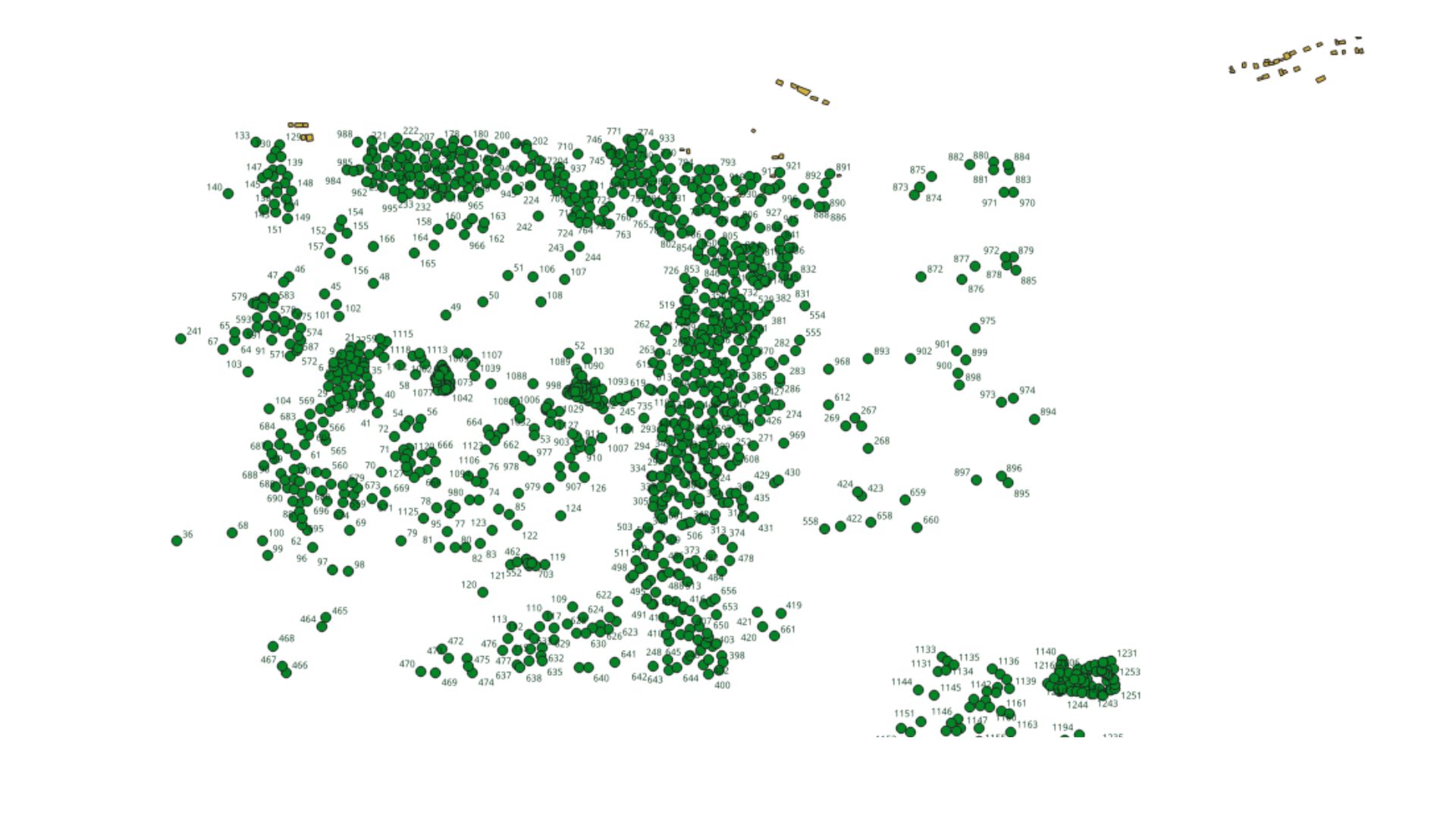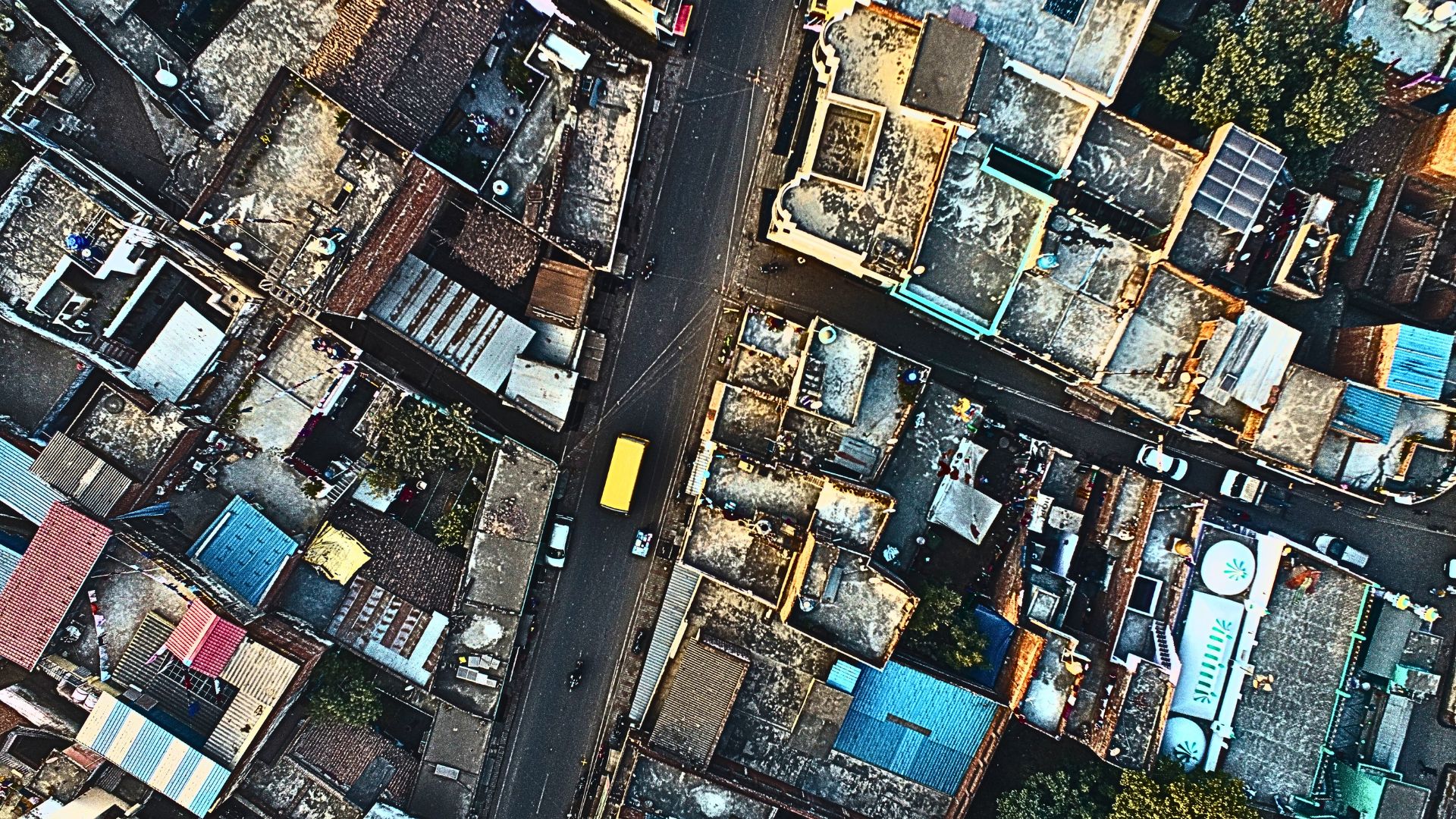
Agniforge delivers precise satellite-based mapping and survey solutions, providing high-resolution geospatial data for planning, monitoring, and analysis. Our services support infrastructure development, agriculture, environment, and resource management with reliable, cost-effective, and accurate mapping from space.
Download Profile
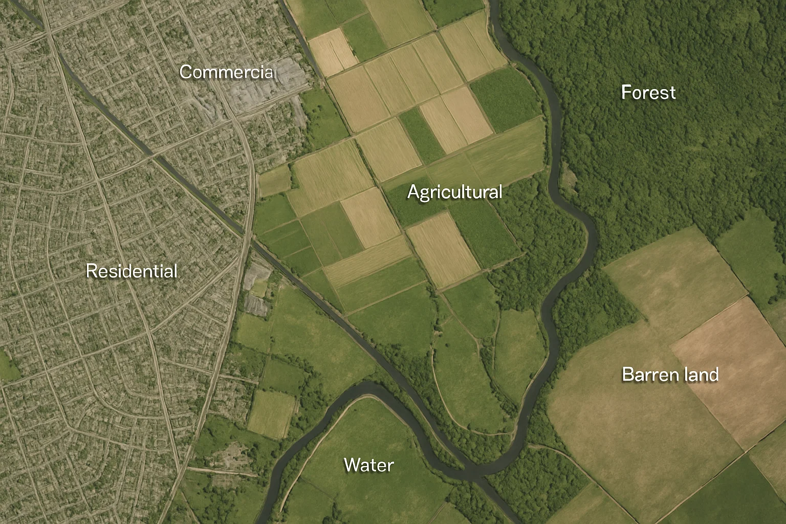
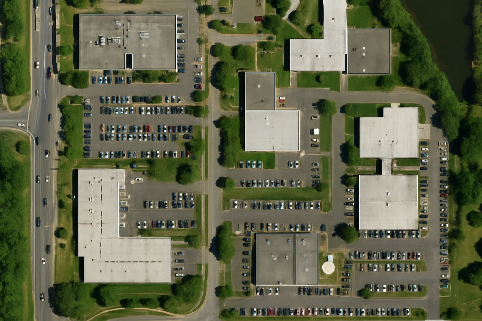
At Agniforge, we harness the power of satellite data and imagery to deliver high-precision, first-stage mapping solutions anywhere in the world. Our advanced satellite mapping technology enables rapid, accurate geospatial analysis for diverse industries, from urban planning to environmental conservation.
Using cutting-edge satellite platforms and sophisticated data processing, our team provides detailed insights into terrain, infrastructure, and land use on a global scale. Whether it’s a remote jungle or a bustling city, Agniforge’s satellite mapping services deliver reliable data to support informed decision-making.
Backed by expertise and innovation, Agniforge ensures survey-grade results that meet the highest industry standards. Partner with us to unlock the potential of satellite mapping for your next project, anywhere on Earth.
Our satellite mapping services provide comprehensive, high-quality deliverables to support global mapping and analysis needs.
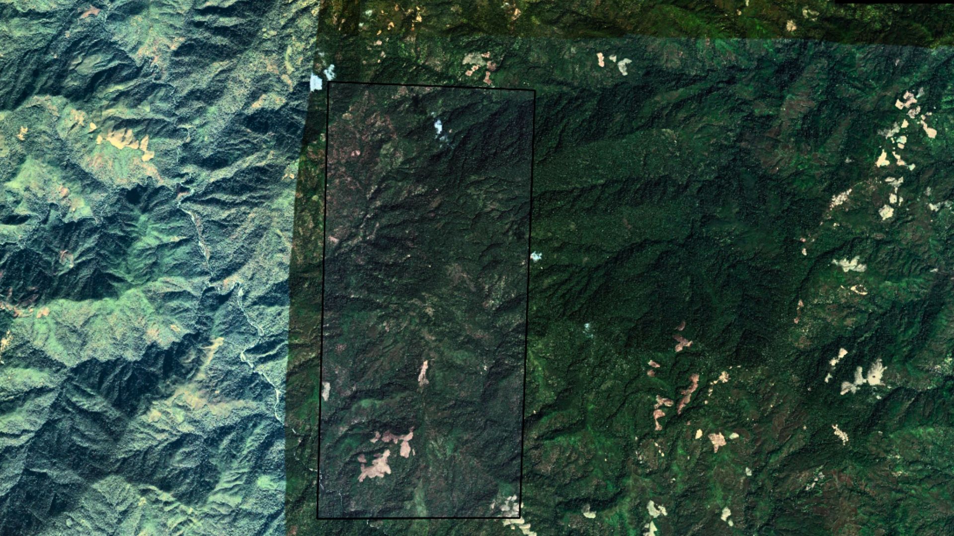
Crystal-clear imagery with sub-meter resolution, ideal for detailed site analysis and planning across any global location.
Classified maps detailing land cover and usage, supporting urban development, agriculture, and environmental studies worldwide.
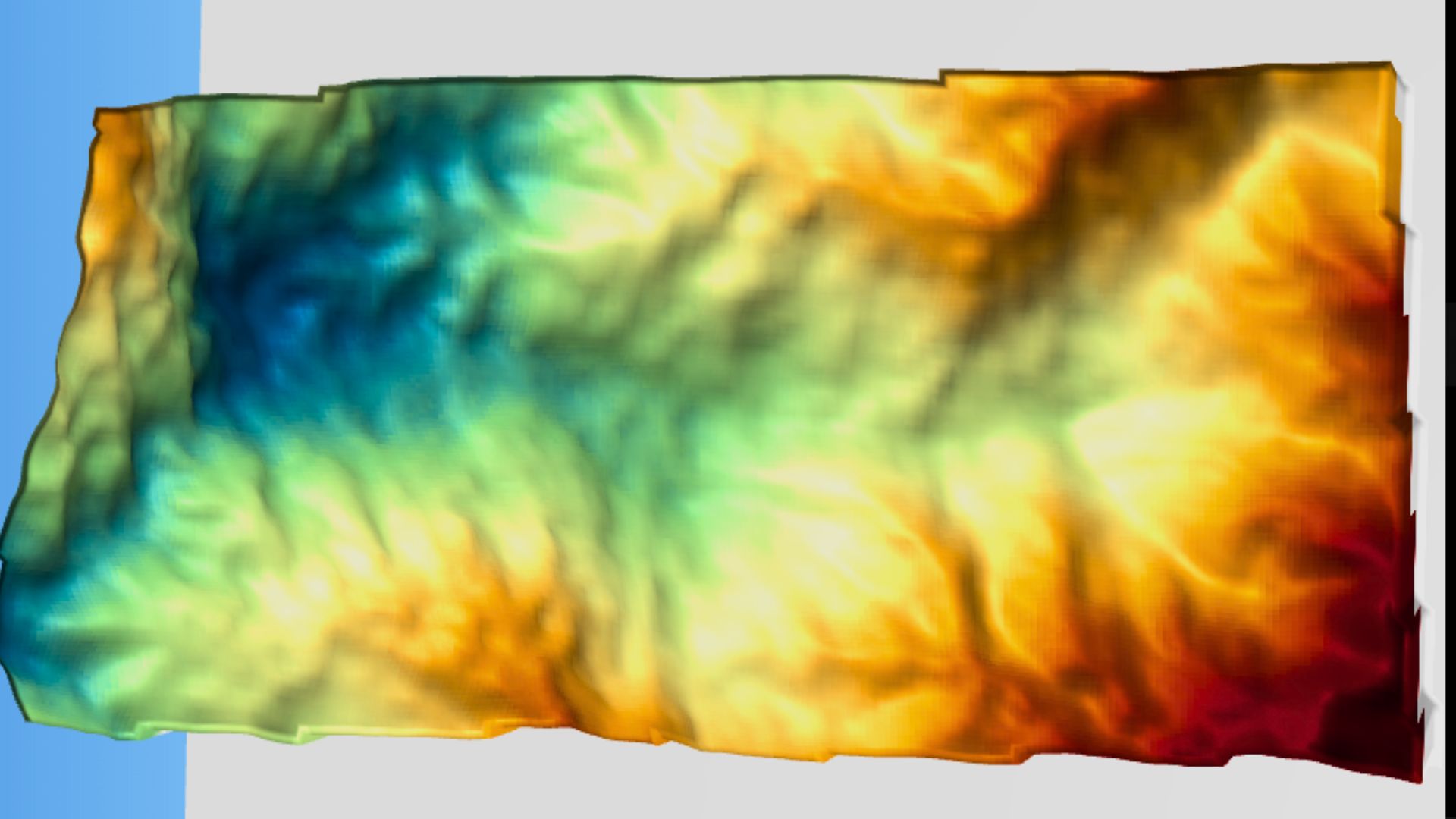
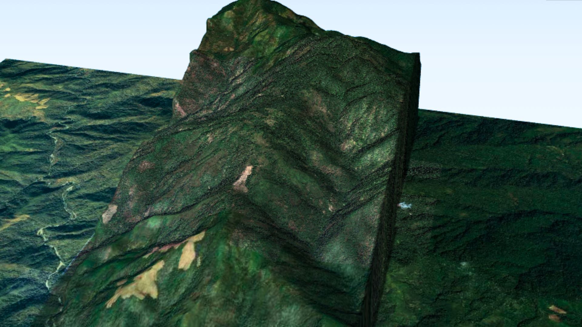
Accurate 3D terrain models derived from satellite data, perfect for flood risk assessment and infrastructure planning globally.
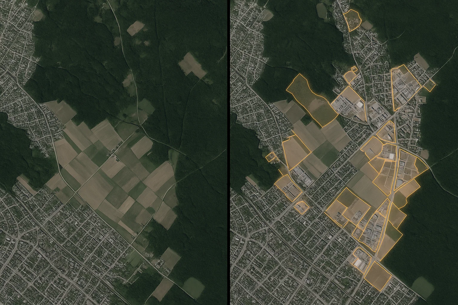
Time-series analysis highlighting changes in land use or infrastructure, enabling monitoring of urban sprawl or deforestation.
Stitched satellite imagery with precise coordinates, providing seamless maps for large-scale projects anywhere in the world.
NDVI-based maps assessing vegetation health, supporting agriculture and environmental monitoring globally.
Our satellite mapping services enable first-stage mapping anywhere in the world, addressing critical needs across diverse industries.
Map city layouts and infrastructure globally to support smart city development and efficient land use planning.
Assess damage and plan recovery efforts in disaster-affected areas, using satellite imagery for rapid response worldwide.
Track deforestation, wetland changes, or carbon sinks globally, supporting conservation and climate change initiatives.
Analyze crop health and land conditions anywhere in the world to enhance yield and optimize farming practices.
Plan roads, pipelines, and utilities with precise satellite data, enabling efficient global infrastructure projects.
Identify potential resource sites and map remote terrains globally, supporting exploration and operational planning.
Monitor borders and detect encroachments worldwide, ensuring security and compliance with high-resolution imagery.
Map coastlines and monitor erosion or habitat changes globally, aiding sustainable coastal development and protection.
Partner with Agniforge Survey to unlock the potential of your land with precision, innovation, and purpose. Let’s build a sustainable tomorrow together.
Get in Touch