Agriculture Survey & Mapping by Agniforge in Your City
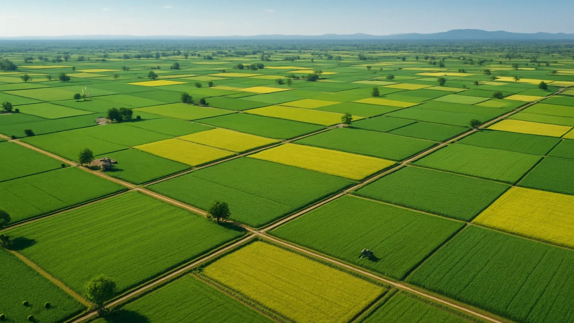
Utilizing advanced drones with thermal imaging, LiDAR, and high-resolution cameras, we deliver precise and comprehensive agricultural surveys for precision farming worldwide.
Download Profile
Utilizing advanced drones with thermal imaging, LiDAR, and high-resolution cameras, we deliver precise and comprehensive agricultural surveys for precision farming worldwide.
Download ProfileAt Agniforge, our drone-based agriculture surveys leverage state-of-the-art UAVs equipped with thermal imaging, LiDAR, high-resolution cameras, and video geotagging capabilities to provide precise and efficient data collection. This technology enables detailed mapping and analysis of farmlands, supporting sustainable and high-yield farming practices.
Our expert team processes aerial data, geotagged videos, and LiDAR point clouds to monitor crop health, assess soil conditions, and optimize irrigation, delivering actionable insights for farmers and agribusinesses. Services like thermal inspections and orthomosaic mapping enhance productivity and resource efficiency across diverse agricultural landscapes.
With a commitment to innovation and alignment with global agricultural standards, Agniforge’s drone surveys empower farmers with survey-grade results for precision agriculture. Partner with us to transform your farming operations for maximum yield and sustainability.
Our drone-based agriculture survey services leverage advanced UAV technology for precise crop monitoring, soil analysis, and irrigation planning.
Identify stress, pest infestations, or water deficiencies in crops using thermal imaging, enabling targeted interventions for optimal yield.
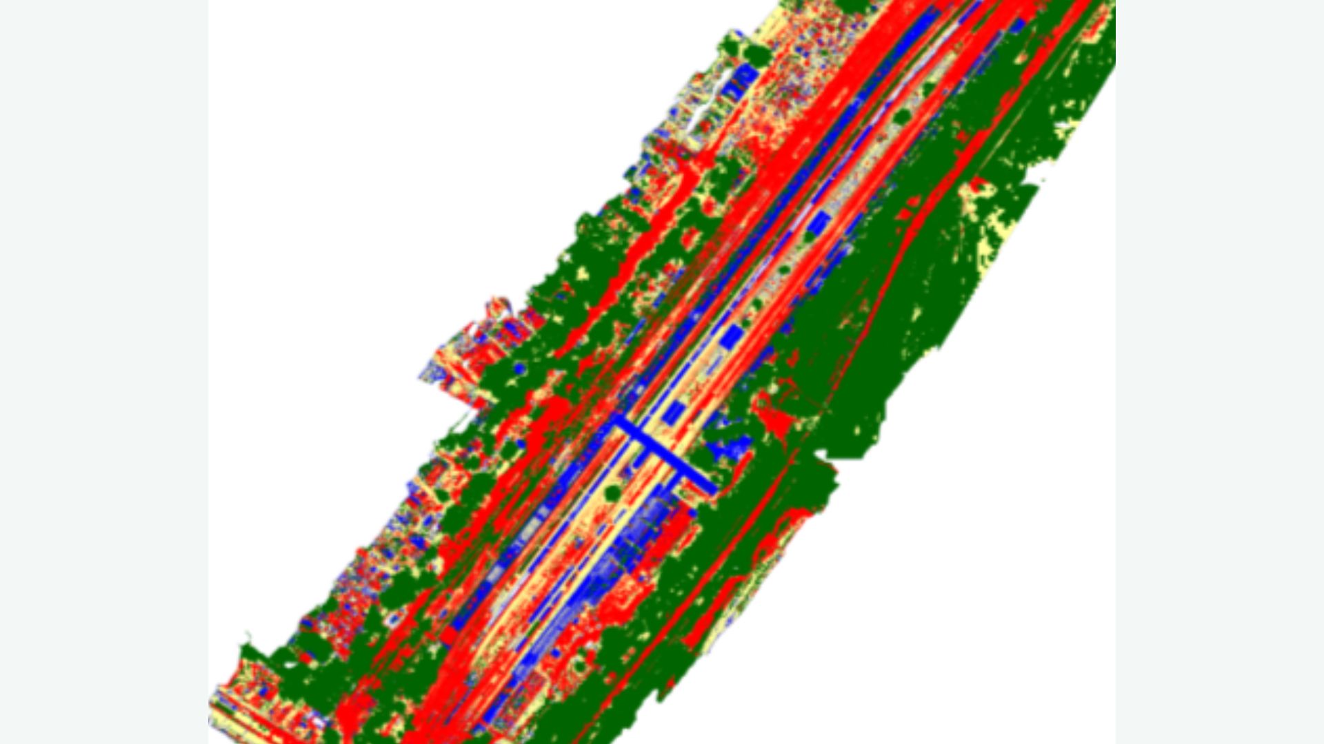
High-precision 3D mapping of farmland topography and soil characteristics using LiDAR, supporting precision planting and soil management.
Create detailed orthomosaic maps from high-resolution imagery, aiding in field boundary delineation and crop monitoring.
Capture geotagged video footage of farmlands, enabling location-based analysis for crop health and management documentation.
Our drone-based agriculture surveys address critical needs in precision farming, resource management, and sustainable agriculture worldwide.
Assess crop health with thermal and orthomosaic data to detect issues early, improving yield and reducing input costs.
Optimize irrigation systems with topographic and soil data, ensuring efficient water use and enhanced crop growth.
Analyze soil variability using LiDAR and aerial imagery to guide precision planting and nutrient management.
Estimate crop yields with high-resolution data, aiding in harvest planning and market forecasting.
Create geotagged video records for compliance, insurance, and operational documentation of farming activities.
Monitor resource use and environmental impact to ensure sustainable farming practices and regulatory compliance.