City Planning Survey & Mapping by Agniforge
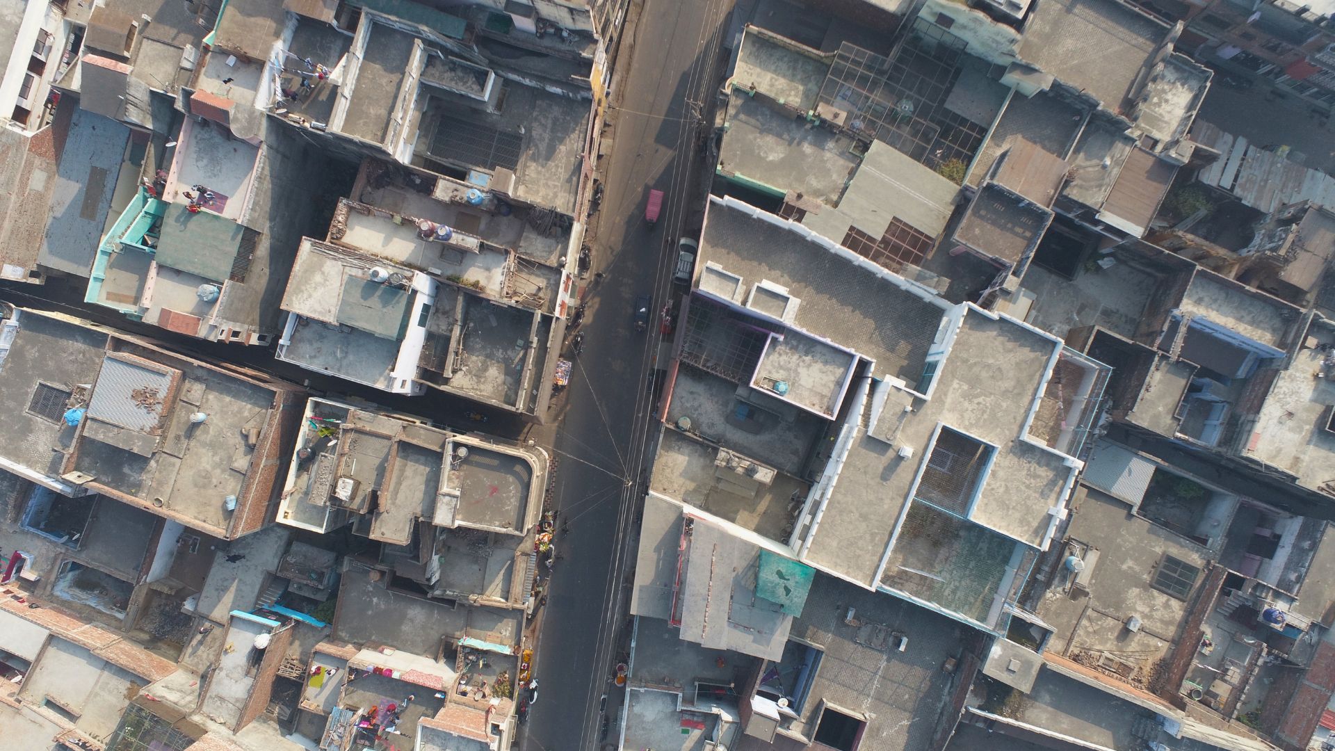
Utilizing advanced drones with LiDAR, high-resolution imaging, and video geotagging, we deliver precise and comprehensive surveys for urban development worldwide.
Download Profile
Utilizing advanced drones with LiDAR, high-resolution imaging, and video geotagging, we deliver precise and comprehensive surveys for urban development worldwide.
Download ProfileAt Agniforge, our drone-based city planning surveys harness cutting-edge UAVs equipped with LiDAR, high-resolution cameras, and video geotagging capabilities to provide precise and efficient data collection. This technology enables detailed mapping and analysis of urban landscapes, supporting sustainable city development and infrastructure planning.
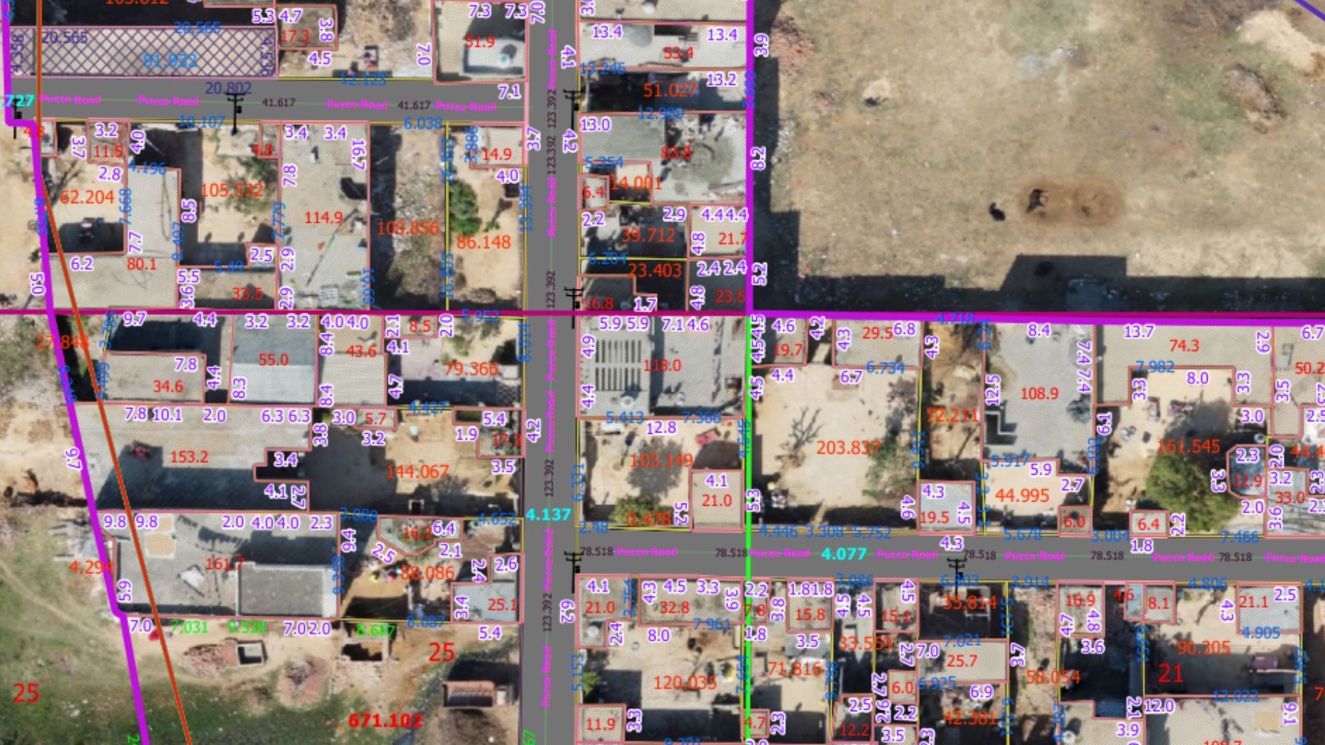
Our expert team processes aerial data, geotagged videos, and LiDAR point clouds to create high-resolution orthomosaic maps, 3D urban models, and land-use assessments, delivering actionable insights for urban planners, municipalities, and developers. Services like land-use change detection and infrastructure surveys optimize urban growth and resource allocation.
With a commitment to innovation and adherence to global urban planning standards, Agniforge’s drone surveys offer survey-grade results for city management. Partner with us to shape smarter, sustainable cities of the future.
Our drone-based city planning survey services leverage advanced UAV technology for precise urban mapping, modeling, and planning.
High-precision 3D mapping of urban topography and infrastructure using LiDAR, enabling accurate 3D city models for planning and analysis.
Create detailed orthomosaic maps from high-resolution aerial imagery, supporting land-use planning and urban development assessments.
Capture geotagged video footage of urban areas, enabling location-based analysis for infrastructure monitoring and documentation.
Monitor urban land-use changes with high-resolution imagery, identifying encroachments or zoning violations for regulatory compliance.
Our drone-based city planning surveys address critical needs in urban development, infrastructure design, and sustainable growth worldwide.
Provide detailed topographic and 3D models for designing comprehensive city master plans, optimizing land use and infrastructure.
Support the planning of roads, utilities, and public facilities with high-resolution orthomosaic maps and LiDAR data.
Detect unauthorized land-use changes or encroachments to ensure compliance with zoning regulations and urban policies.
Enable data-driven urban growth with 3D models and geospatial data for smart city technologies and sustainable planning.
Assess urban expansion impacts on green spaces and ecosystems using aerial surveys and topographic data.
Map urban vulnerabilities and floodplains to support disaster preparedness and resilient city planning.