Forest & Wildlife Survey & Monitoring by Agniforge
Utilizing advanced drones with thermal imaging, LiDAR, and high-resolution cameras, we deliver precise and comprehensive surveys for forest and wildlife conservation worldwide.
Download Profile
Utilizing advanced drones with thermal imaging, LiDAR, and high-resolution cameras, we deliver precise and comprehensive surveys for forest and wildlife conservation worldwide.
Download ProfileAt Agniforge, our drone-based forest and wildlife surveys leverage cutting-edge UAVs equipped with thermal imaging, LiDAR, high-resolution cameras, and video geotagging capabilities to provide precise and non-invasive data collection. This technology enables detailed mapping and monitoring of forest ecosystems and wildlife habitats across remote and dense terrains.
Our expert team processes aerial data, geotagged videos, and LiDAR point clouds to track wildlife populations, analyze forest canopy structure, and monitor deforestation, delivering actionable insights for conservationists, researchers, and policymakers. Services like thermal inspections for wildlife tracking and orthomosaic mapping enhance biodiversity preservation and ecosystem management.
With a commitment to innovation and alignment with global conservation standards, Agniforge’s drone surveys offer survey-grade results for forest and wildlife management. Partner with us to protect and sustain our planet’s natural heritage.
Our drone-based forest and wildlife survey services leverage advanced UAV technology for precise ecosystem mapping, wildlife monitoring, and conservation planning.
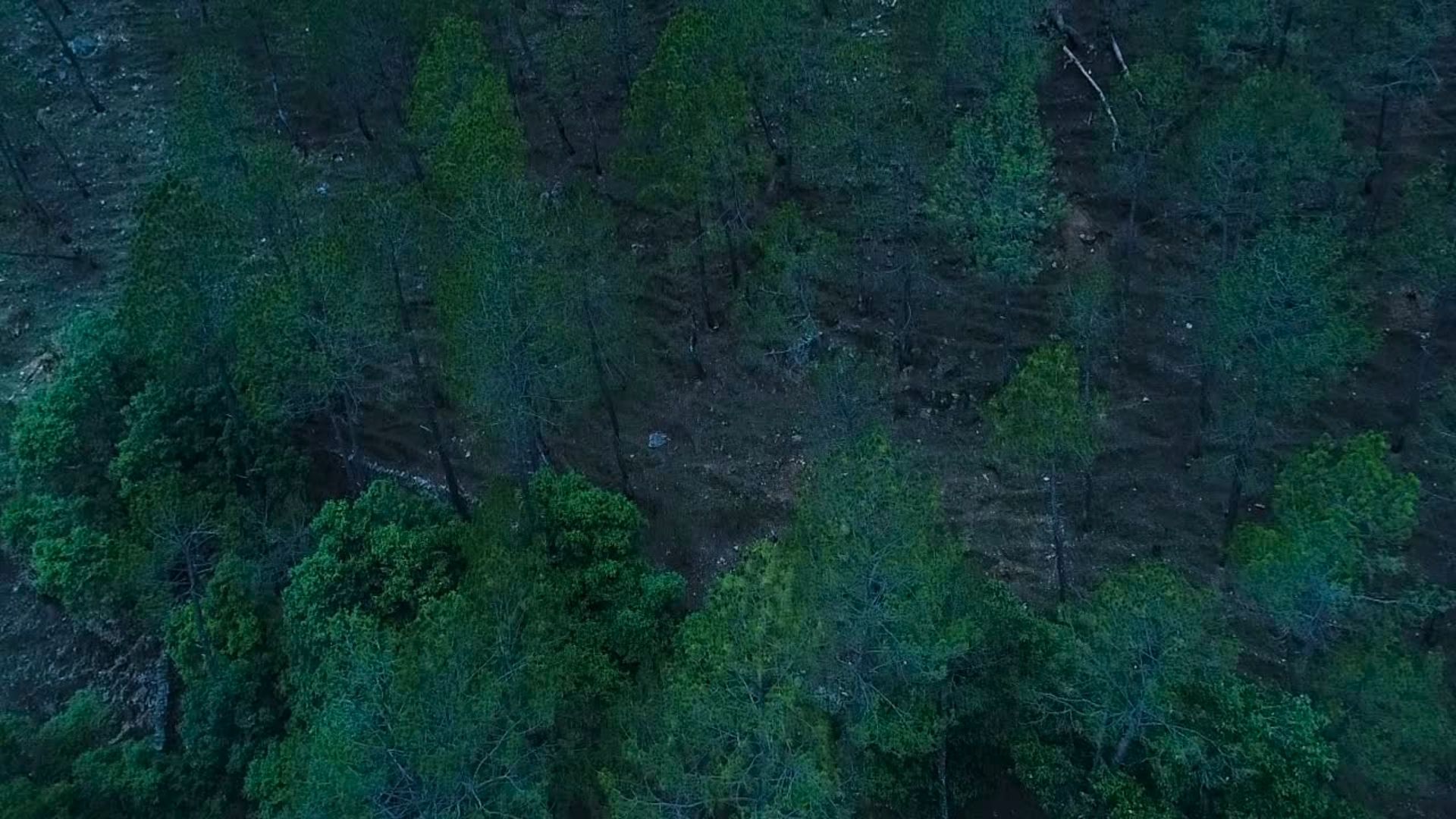
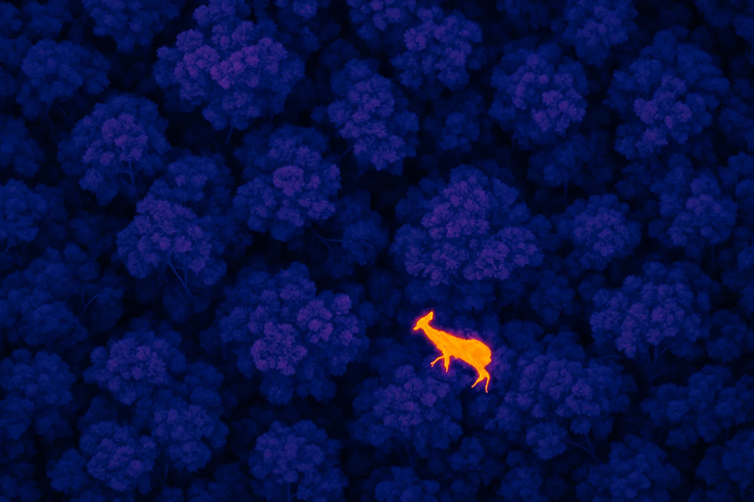
Detect and monitor wildlife populations using thermal imaging, enabling non-invasive tracking of animals in dense forests or nocturnal conditions.
High-precision 3D mapping of forest canopy structure and topography using LiDAR, supporting biodiversity and habitat assessments.
Create detailed orthomosaic maps from high-resolution imagery, aiding in forest cover analysis and land-use monitoring.
Capture geotagged video footage of forests and wildlife habitats, enabling location-based analysis for monitoring and documentation.
Our drone-based forest and wildlife surveys address critical needs in conservation, biodiversity monitoring, and ecosystem management worldwide.
Track and assess wildlife populations using thermal and video data, supporting conservation strategies and species protection.
Detect illegal logging and land-use changes with orthomosaic maps and LiDAR data, aiding in forest preservation efforts.
Analyze forest canopy structure and species diversity using LiDAR, supporting ecological research and habitat management.
Map forest fuel loads and monitor dry areas with thermal and orthomosaic data to assess and mitigate fire risks.
Provide topographic and vegetation data for planning reforestation and habitat restoration projects.
Evaluate the impact of development projects on forests and wildlife using aerial surveys and geospatial data.