UAV Mapping Services

Transforming Landscapes
with Drone Intelligence.

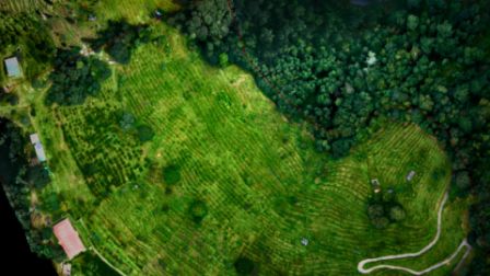
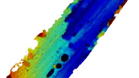
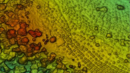
Agniforge redefines precision through autonomous aerial acquisition. We deliver survey-grade data for construction, mining, and urban planning with 99.9% accuracy.

Agniforge UAV Action

200,000+

Hectares Mapped

200+

Projects Completed

99.9%

Data Accuracy

Output Inventory

Precision Crafted Deliverables

Orthomosaic

Orthomosaic Map

Georeferenced, high-resolution maps providing a distorted-free overview of your entire project site.

DTM

Digital Terrain Model

Capturing the bare-earth surface by filtering vegetation and structures for topographic analysis.

DEM

Digital Elevation Model

Comprehensive representation of terrain and surface features for hydrological and environmental studies.

Vector

Vector Mapping

Scalable linework and annotations for seamless GIS integration and asset management.

Contour

Contour Maps

Detailed elevation lines with centimeter-level precision for hydrological and slope planning.

3D

3D Visualization

Immersive digital twins offering realistic views of terrain and complex structures.

Engineering Lab

Advanced Mapping & Design

CAD Drawing

Precise blueprints crafted from UAV data for architecture and civil engineering workflows.

Cross-Section Profiling

Derived profiles for road design, earthworks, and infrastructure feasibility studies.

Elevation Profile

Terrain variation analysis perfect for slope stability and hydrological modeling.

The Methodology

Anchor to Reality.

Accuracy is non-negotiable. We bridge the gap between aerial imagery and survey-grade coordinates using high-end terrestrial equipment.

GCP (Ground Control Points)

Establishing physical markers to tie aerial data to millimeter-accurate real-world coordinates.

High-Accuracy DGPS

Differential GPS systems ensuring the reliability of every map, profile, and vector file we deliver.

Temporal Analysis

Change Detection Services

Monitor construction progress or environmental shifts over time with our high-res comparison engine.

PROJECT_STATE: August_2024
PROJECT_STATE: August_2025
Mission Intake

Initiate Survey Sequence